Page 188 - UAE National Geospatial Feature Catalogue
P. 188

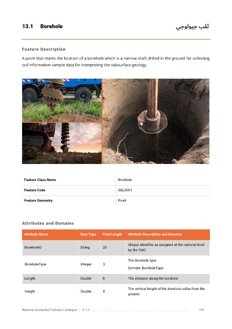
13.1      Borehole                                                                              يجولويج بقث


            Feature Description

            A point that marks the location of a borehole which is a narrow shaft drilled in the ground for collecting
            soil information sample data for interpreting the subsurface geology.


             Feature Class Name                               Borehole

             Feature Code                                     GEL0001


             Feature Geometry                                 Point


            Attributes and Domains

             Attribute Name               Data Type   Field Length   Attribute Description and Domains


                                                                   Unique Identifier as assigned at the national level
              BoreholeID                  String      20
                                                                   by the FGIC.

                                                                   The Borehole type
              BoreholeType                Integer     3
                                                                   Domain: BoreholeType

              Length                      Double      8            The distance along the borehole


                                                                   The vertical height of the borehole collar from the
              Height                      Double      8
                                                                   ground.


            National Geospatial Features Catalogue   |   V 1.0   . . . . . . . . .. . . . . . . . . . . . . . . . . . . . . . . . . . . . . . . . . . . . . . . . . . . . . . . . . . ..               155
   183   184   185   186   187   188   189   190   191   192   193