
Page 205 - UAE National Geospatial Feature Catalogue
P. 205
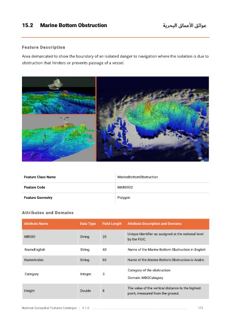
15.2      Marine Bottom Obstruction                                           ةيرحبلا قامعلأا قئاوع


            Feature Description

            Area demarcated to show the boundary of an isolated danger to navigation where the isolation is due to
            obstruction that hinders or prevents passage of a vessel.


             Feature Class Name                               MarineBottomObstruction


             Feature Code                                     MAR0002

             Feature Geometry                                 Polygon


            Attributes and Domains

             Attribute Name               Data Type   Field Length   Attribute Description and Domains


                                                                   Unique Identifier as assigned at the national level
              MBOID                       String      20
                                                                   by the FGIC.

              NameEnglish                 String      60           Name of the Marine Bottom Obstruction in English

              NameArabic                  String      60           Name of the Marine Bottom Obstruction in Arabic

                                                                   Category of the obstruction
              Category                    Integer     3
                                                                   Domain: MBOCategory

                                                                   The value of the vertical distance to the highest
              Height                      Double      8
                                                                   point, measured from the ground.


            National Geospatial Features Catalogue   |   V 1.0   . . . . . . . . .. . . . . . . . . . . . . . . . . . . . . . . . . . . . . . . . . . . . . . . . . . . . . . . . . . ..               172