
Page 241 - UAE National Geospatial Feature Catalogue
P. 241
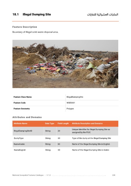
18.1      Illegal Dumping Site                                              تايافنلل ةيئاوشعلا تابكملا


            Feature Description

            Boundary of illegal solid waste disposal area.


             Feature Class Name                               IllegalDumpingSite


             Feature Code                                     WSE0001

             Feature Geometry                                 Polygon


            Attributes and Domains

             Attribute Name               Data Type   Field Length   Attribute Description and Domains

                                                                   Unique Identifier for Illegal Dumping Site as
              IllegalDumpingSiteID        String      20
                                                                   assigned by the FGIC


              DumpType                    String      60           Type of the dump at the Illegal Dumping Site

              NameArabic                  String      60           Name of the Illegal Dumping Site in English

              NameEnglish                 String      60           Name of the Illegal Dumping Site in Arabic


            National Geospatial Features Catalogue   |   V 1.0   . . . . . . . . .. . . . . . . . . . . . . . . . . . . . . . . . . . . . . . . . . . . . . . . . . . . . . . . . . . ..               208