
Page 253 - UAE National Geospatial Feature Catalogue
P. 253
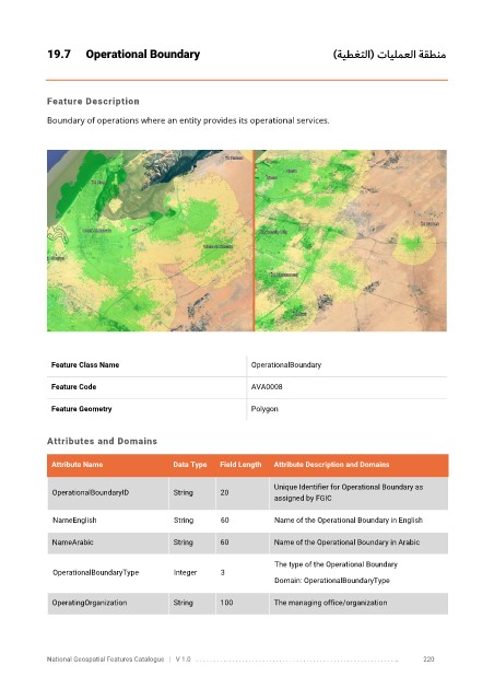
19.7      Operational Boundary                                         )ةيطغتلا( تايلمعلا ةقطنم


            Feature Description

            Boundary of operations where an entity provides its operational services.


             Feature Class Name                               OperationalBoundary


             Feature Code                                     AVA0008

             Feature Geometry                                 Polygon


            Attributes and Domains

             Attribute Name                Data Type   Field Length   Attribute Description and Domains

                                                                   Unique Identifier for Operational Boundary as
              OperationalBoundaryID        String     20
                                                                   assigned by FGIC


              NameEnglish                  String     60           Name of the Operational Boundary in English

              NameArabic                   String     60           Name of the Operational Boundary in Arabic

                                                                   The type of the Operational Boundary
              OperationalBoundaryType      Integer    3
                                                                   Domain: OperationalBoundaryType

              OperatingOrganization        String     100          The managing office/organization


            National Geospatial Features Catalogue   |   V 1.0   . . . . . . . . .. . . . . . . . . . . . . . . . . . . . . . . . . . . . . . . . . . . . . . . . . . . . . . . . . . ..               220