
Page 290 - UAE National Geospatial Feature Catalogue
P. 290
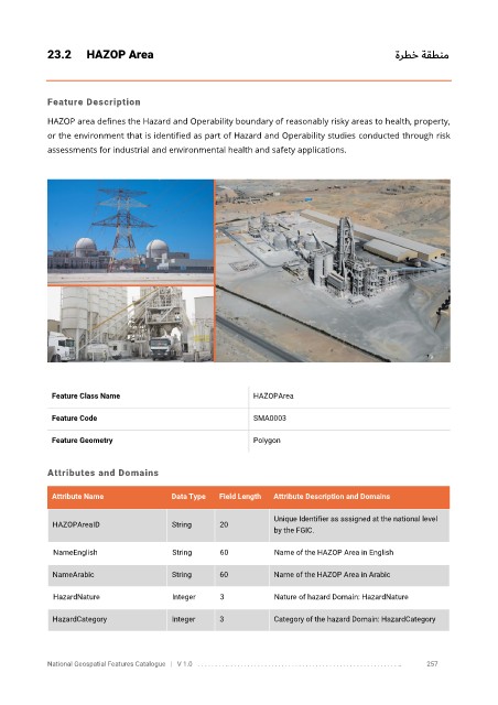
23.2      HAZOP Area                                                                                   ةرطخ ة    قطنم


            Feature Description

            HAZOP area defines the Hazard and Operability boundary of reasonably risky areas to health, property,
            or the environment that is identified as part of Hazard and Operability studies conducted through risk

            assessments for industrial and environmental health and safety applications.


             Feature Class Name                               HAZOPArea


             Feature Code                                     SMA0003

             Feature Geometry                                 Polygon


            Attributes and Domains


             Attribute Name               Data Type   Field Length   Attribute Description and Domains

                                                                   Unique Identifier as assigned at the national level
              HAZOPAreaID                 String      20
                                                                   by the FGIC.

              NameEnglish                 String      60           Name of the HAZOP Area in English

              NameArabic                  String      60           Name of the HAZOP Area in Arabic

              HazardNature                Integer     3            Nature of hazard Domain: HazardNature


              HazardCategory              Integer     3            Category of the hazard Domain: HazardCategory


            National Geospatial Features Catalogue   |   V 1.0   . . . . . . . . .. . . . . . . . . . . . . . . . . . . . . . . . . . . . . . . . . . . . . . . . . . . . . . . . . . ..               257