Page 399 - UAE National Geospatial Feature Catalogue
P. 399

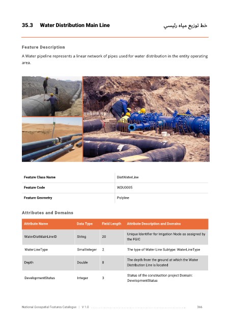
35.3      Water Distribution Main Line                                    يسيئر هايم عيزوت   طخ


            Feature Description

            A Water pipeline represents a linear network of pipes used for water distribution in the entity operating
            area.


             Feature Class Name                               DistWaterLine


             Feature Code                                     WDU0005

             Feature Geometry                                 Polyline


            Attributes and Domains


             Attribute Name              Data Type    Field Length   Attribute Description and Domains

                                                                   Unique Identifier for Irrigation Node as assigned by
              WaterDistMainLineID        String       20
                                                                   the FGIC

              WaterLineType              SmallInteger   2          The type of Water Line Subtype: WaterLineType

                                                                   The depth from the ground at which the Water
              Depth                      Double       8
                                                                   Distribution Line is located

                                                                   Status of the construction project Domain:
              DevelopmentStatus          Integer      3
                                                                   DevelopmentStatus


            National Geospatial Features Catalogue   |   V 1.0   . . . . . . . . .. . . . . . . . . . . . . . . . . . . . . . . . . . . . . . . . . . . . . . . . . . . . . . . . . . ..               366
   394   395   396   397   398   399   400   401   402   403   404