Page 480 - UAE National Geospatial Feature Catalogue
P. 480

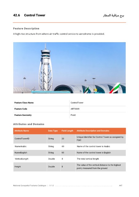
42.6      Control Tower                                                         راطملا ةبقارم جرب


            Feature Description

            A high-rise structure from where air traffic control service to aerodrome is provided.


             Feature Class Name                               ControlTower


             Feature Code                                     ART0009

             Feature Geometry                                 Point


            Attributes and Domains

             Attribute Name               Data Type   Field Length   Attribute Description and Domains

                                                                   Unique Identifier for Control Tower as assigned by
              ControlTowerID              String      20
                                                                   FGIC


              NameArabic                  String      60           Name of the control tower in Arabic

              NameEnglish                 String      60           Name of the control tower in English

              VerticalLength              Double      8            The total vertical length


                                                                   The value of the vertical distance to the highest
              Height                      Double      8
                                                                   point, measured from the ground


            National Geospatial Features Catalogue   |   V 1.0   . . . . . . . . .. . . . . . . . . . . . . . . . . . . . . . . . . . . . . . . . . . . . . . . . . . . . . . . . . . ..               447
   475   476   477   478   479   480   481   482   483   484   485