
Page 531 - UAE National Geospatial Feature Catalogue
P. 531
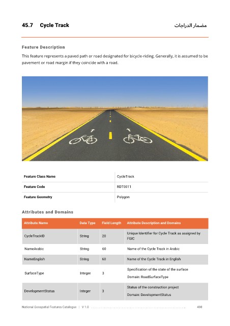
45.7      Cycle Track                                                              تاجاردلا رامضم


            Feature Description

            This feature represents a paved path or road designated for bicycle-riding. Generally, it is assumed to be
            pavement or road margin if they coincide with a road.


             Feature Class Name                               CycleTrack


             Feature Code                                     RDT0011

             Feature Geometry                                 Polygon


            Attributes and Domains

             Attribute Name               Data Type   Field Length   Attribute Description and Domains


                                                                   Unique Identifier for Cycle Track as assigned by
              CycleTrackID                String      20
                                                                   FGIC

              NameArabic                  String      60           Name of the Cycle Track in Arabic

              NameEnglish                 String      60           Name of the Cycle Track in English

                                                                   Specification of the state of the surface
              SurfaceType                 Integer     3
                                                                   Domain: RoadSurfaceType

                                                                   Status of the construction project
              DevelopmentStatus           Integer     3
                                                                   Domain: DevelopmentStatus


            National Geospatial Features Catalogue   |   V 1.0   . . . . . . . . .. . . . . . . . . . . . . . . . . . . . . . . . . . . . . . . . . . . . . . . . . . . . . . . . . . ..               498