
Page 150 - UAE National Geospatial Feature Catalogue
P. 150
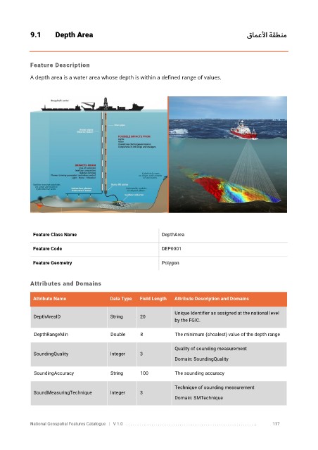
9.1       Depth Area                                                                             قامعلأا  ةقطنم


            Feature Description

            A depth area is a water area whose depth is within a defined range of values.


             Feature Class Name                               DepthArea


             Feature Code                                     DEP0001

             Feature Geometry                                 Polygon


            Attributes and Domains

             Attribute Name               Data Type   Field Length   Attribute Description and Domains

                                                                  Unique Identifier as assigned at the national level
              DepthAreaID                 String     20
                                                                  by the FGIC.


              DepthRangeMin               Double      8            The minimum (shoalest) value of the depth range

                                                                  Quality of sounding measurement
              SoundingQuality             Integer    3
                                                                  Domain: SoundingQuality


              SoundingAccuracy            String      100          The sounding accuracy

                                                                  Technique of sounding measurement
              SoundMeasuringTechnique     Integer    3
                                                                  Domain: SMTechnique


            National Geospatial Features Catalogue   |   V 1.0   . . . . . . . . .. . . . . . . . . . . . . . . . . . . . . . . . . . . . . . . . . . . . . . . . . . . . . . . . . . ..               117