Page 152 - UAE National Geospatial Feature Catalogue
P. 152

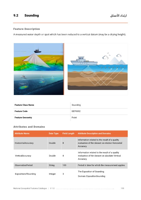
9.2       Sounding                                                                                  قامعلأا دادترا


            Feature Description

            A measured water depth or spot which has been reduced to a vertical datum (may be a drying height).


             Feature Class Name                               Sounding

             Feature Code                                     DEP0002

             Feature Geometry                                 Point


            Attributes and Domains


             Attribute Name               Data Type   Field Length   Attribute Description and Domains

                                                                   Information related to the result of a quality
              HorizontalAccuracy          Double      8            evaluation of the dataset on relative Horizontal
                                                                   Accuracy


                                                                   Information related to the result of a quality
              VerticalAccuracy            Double      8            evaluation of the dataset on absolute Vertical
                                                                   Accuracy

              ObservationPeriod           String      100          Period in time for which the measurement applies


                                                                   The Exposition of Sounding.
              ExpositionofSounding        Integer     3
                                                                   Domain: ExpositionSounding


            National Geospatial Features Catalogue   |   V 1.0   . . . . . . . . .. . . . . . . . . . . . . . . . . . . . . . . . . . . . . . . . . . . . . . . . . . . . . . . . . . ..               119
   147   148   149   150   151   152   153   154   155   156   157