
Page 198 - UAE National Geospatial Feature Catalogue
P. 198
14.1 Cave فهك
Feature Description
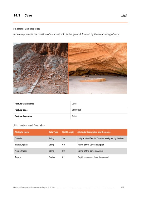
A cave represents the location of a natural void in the ground, formed by the weathering of rock.
Feature Class Name Cave
Feature Code GMP0001
Feature Geometry Point
Attributes and Domains
Attribute Name Data Type Field Length Attribute Description and Domains
CaveID String 20 Unique Identifier for Cave as assigned by the FGIC
NameEnglish String 60 Name of the Cave in English
NameArabic String 60 Name of the Cave in Arabic
Depth Double 8 Depth measured from the ground.
National Geospatial Features Catalogue | V 1.0 . . . . . . . . .. . . . . . . . . . . . . . . . . . . . . . . . . . . . . . . . . . . . . . . . . . . . . . . . . . .. 165