
Page 222 - UAE National Geospatial Feature Catalogue
P. 222
16.7 Seismic Source Zonation لازلزلا ردصم ةقطنم
Feature Description
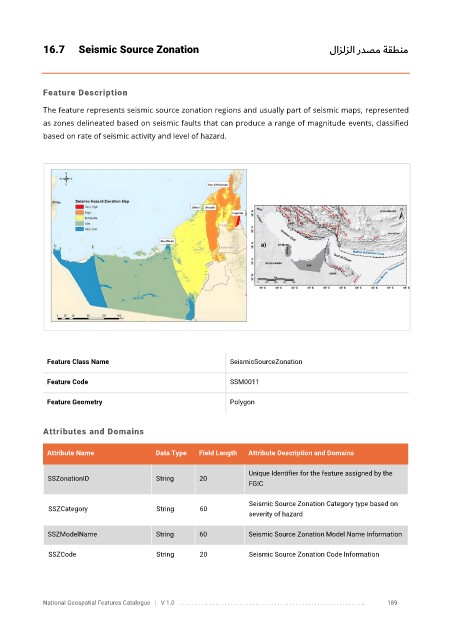
The feature represents seismic source zonation regions and usually part of seismic maps, represented
as zones delineated based on seismic faults that can produce a range of magnitude events, classified
based on rate of seismic activity and level of hazard.
Feature Class Name SeismicSourceZonation
Feature Code SSM0011
Feature Geometry Polygon
Attributes and Domains
Attribute Name Data Type Field Length Attribute Description and Domains
Unique Identifier for the feature assigned by the
SSZonationID String 20
FGIC
Seismic Source Zonation Category type based on
SSZCategory String 60
severity of hazard
SSZModelName String 60 Seismic Source Zonation Model Name Information
SSZCode String 20 Seismic Source Zonation Code Information
National Geospatial Features Catalogue | V 1.0 . . . . . . . . .. . . . . . . . . . . . . . . . . . . . . . . . . . . . . . . . . . . . . . . . . . . . . . . . . . .. 189