
Page 227 - UAE National Geospatial Feature Catalogue
P. 227
16.11 Seismic Shake Map Event يلازلزلا زازتهلاا ةطيرخ
Feature Description
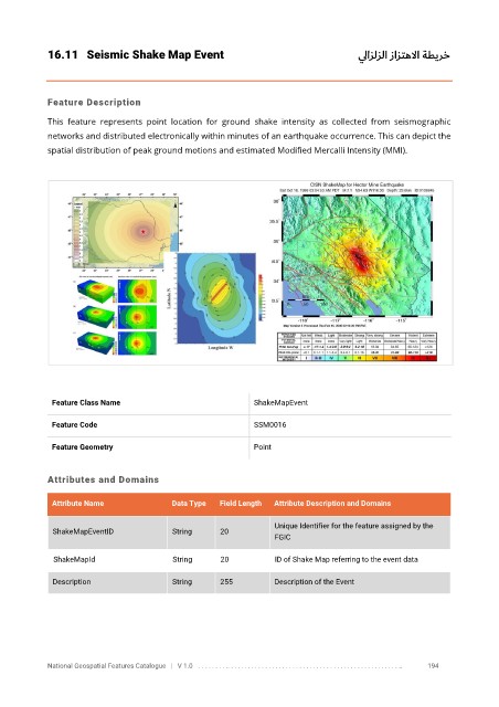
This feature represents point location for ground shake intensity as collected from seismographic
networks and distributed electronically within minutes of an earthquake occurrence. This can depict the
spatial distribution of peak ground motions and estimated Modified Mercalli Intensity (MMI).
Feature Class Name ShakeMapEvent
Feature Code SSM0016
Feature Geometry Point
Attributes and Domains
Attribute Name Data Type Field Length Attribute Description and Domains
Unique Identifier for the feature assigned by the
ShakeMapEventID String 20
FGIC
ShakeMapId String 20 ID of Shake Map referring to the event data
Description String 255 Description of the Event
National Geospatial Features Catalogue | V 1.0 . . . . . . . . .. . . . . . . . . . . . . . . . . . . . . . . . . . . . . . . . . . . . . . . . . . . . . . . . . . .. 194