
Page 232 - UAE National Geospatial Feature Catalogue
P. 232
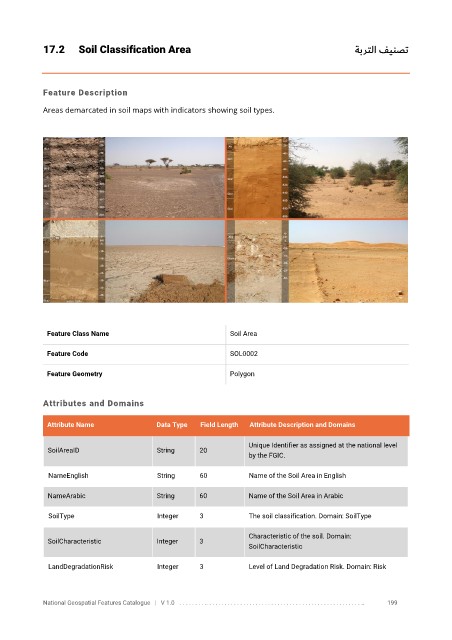
17.2      Soil Classification Area                                                             ةبرتلا فينصت


            Feature Description

            Areas demarcated in soil maps with indicators showing soil types.


             Feature Class Name                               Soil Area


             Feature Code                                     SOL0002

             Feature Geometry                                 Polygon


            Attributes and Domains

             Attribute Name               Data Type   Field Length   Attribute Description and Domains

                                                                   Unique Identifier as assigned at the national level
              SoilAreaID                  String      20
                                                                   by the FGIC.

              NameEnglish                 String      60           Name of the Soil Area in English

              NameArabic                  String      60           Name of the Soil Area in Arabic

              SoilType                    Integer     3            The soil classification. Domain: SoilType


                                                                   Characteristic of the soil. Domain:
              SoilCharacteristic          Integer     3
                                                                   SoilCharacteristic
              LandDegradationRisk         Integer     3            Level of Land Degradation Risk. Domain: Risk


            National Geospatial Features Catalogue   |   V 1.0   . . . . . . . . .. . . . . . . . . . . . . . . . . . . . . . . . . . . . . . . . . . . . . . . . . . . . . . . . . . ..               199