
Page 276 - UAE National Geospatial Feature Catalogue
P. 276
21.2 Infrastructure Utility Corridor )قفارم( ةيتحت ةينب رمم
Feature Description
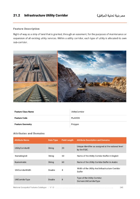
Right-of-way as a strip of land that is granted, through an easement, for the purposes of maintenance or
expansion of all existing utility services. Within a utility corridor, each type of utility is allocated its own
sub-corridor.
Feature Class Name UtilityCorridor
Feature Code PLA0006
Feature Geometry Polygon
Attributes and Domains
Attribute Name Data Type Field Length Attribute Description and Domains
Unique Identifier as assigned at the national level
UtilityCorridorID String 20
by the FGIC.
NameEnglish String 60 Name of the Utility Corridor Buffer in English
NameArabic String 60 Name of the Utility Corridor Buffer in Arabic
Width of the Utility And Infrastructure Corridor
UtilCorridorWidth Double 8
Buffer
Type of the Utility Corridor.
UtilCorridorType Double 8
Domain:UtilCorridorType
National Geospatial Features Catalogue | V 1.0 . . . . . . . . .. . . . . . . . . . . . . . . . . . . . . . . . . . . . . . . . . . . . . . . . . . . . . . . . . . .. 243