
Page 274 - UAE National Geospatial Feature Catalogue
P. 274
21.1 National Spatial Plan Area ينطولا ىوتسملا ىلع ريوطت ةطخ ةقطنم
Feature Description
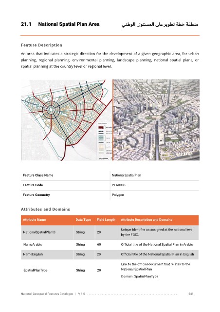
An area that indicates a strategic direction for the development of a given geographic area, for urban
planning, regional planning, environmental planning, landscape planning, national spatial plans, or
spatial planning at the country level or regional level.
Feature Class Name NationalSpatialPlan
Feature Code PLA0003
Feature Geometry Polygon
Attributes and Domains
Attribute Name Data Type Field Length Attribute Description and Domains
Unique Identifier as assigned at the national level
NationalSpatialPlanID String 20
by the FGIC.
NameArabic String 60 Official title of the National Spatial Plan in Arabic
NameEnglish String 20 Official title of the National Spatial Plan in English
Link to the official document that relates to the
SpatialPlanType String 20 National Spatial Plan
Domain: SpatialPlanType
National Geospatial Features Catalogue | V 1.0 . . . . . . . . .. . . . . . . . . . . . . . . . . . . . . . . . . . . . . . . . . . . . . . . . . . . . . . . . . . .. 241