
Page 270 - UAE National Geospatial Feature Catalogue
P. 270
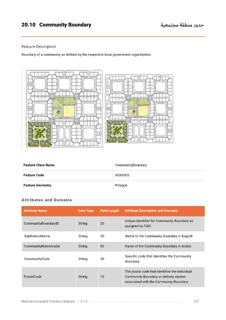
20.10  Community Boundary                                                       ةيعمتجم ةقطنم دودح


            Feature Description

            Boundary of a community as defined by the respective local government organization.


             Feature Class Name                               CommunityBoundary

             Feature Code                                     ADA0003

             Feature Geometry                                 Polygon


            Attributes and Domains


             Attribute Name               Data Type   Field Length   Attribute Description and Domains

                                                                   Unique Identifier for Community Boundary as
              CommunityBoundaryID         String      20
                                                                   assigned by FGIC

              SubDistrictName             String      60           Name of the Community Boundary in English

              CommunityNameArabic         String      60           Name of the Community Boundary in Arabic


                                                                   Specific code that identifies the Community
              CommunityCode               String      30
                                                                   Boundary

                                                                   The postal code that identifies the individual
              PostalCode                  String      10           Community Boundary or delivery station
                                                                   associated with the Community Boundary


            National Geospatial Features Catalogue   |   V 1.0   . . . . . . . . .. . . . . . . . . . . . . . . . . . . . . . . . . . . . . . . . . . . . . . . . . . . . . . . . . . ..               237