
Page 265 - UAE National Geospatial Feature Catalogue
P. 265
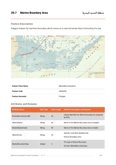
20.7      Marine Boundary Area                                                      ةيرحبلا دودحلا ةقطنم


            Feature Description

            Polygon feature for maritime boundary which serves as a national border that is formed by the sea.


             Feature Class Name                               MarineBoundaryArea


             Feature Code                                     ADA0009

             Feature Geometry                                 Polygon


            Attributes and Domains

             Attribute Name               Data Type   Field Length   Attribute Description and Domains

                                                                   Unique Identifier for Marine Boundary as assigned
              MarineBoundaryAreaID        String      20
                                                                   by FGIC


              MarineName                  String      60           Name of the Marine Boundary Area in English

              MarineNameArabic            String      60           Name of the Marine Boundary Area in Arabic

                                                                   Specific code that identifies the
              MarineCode                  String      30
                                                                   Marine Boundary Area

                                                                   The type of Marine Boundary
              MarineBoundaryType          Integer     3
                                                                   Domain: MarineBoundaryType


            National Geospatial Features Catalogue   |   V 1.0   . . . . . . . . .. . . . . . . . . . . . . . . . . . . . . . . . . . . . . . . . . . . . . . . . . . . . . . . . . . ..               232