
Page 260 - UAE National Geospatial Feature Catalogue
P. 260
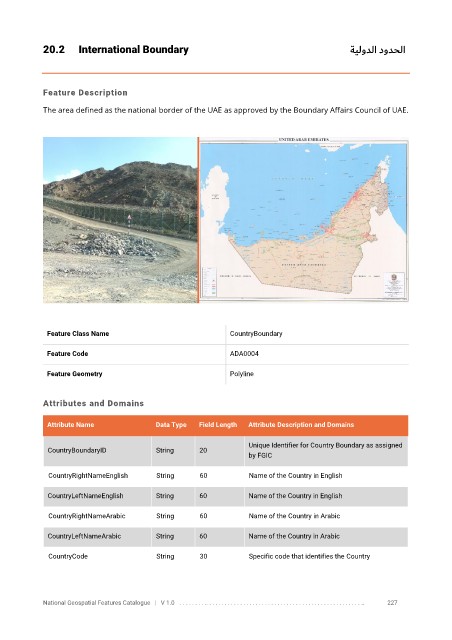
20.2      International Boundary                                                           ةيلودلا دودحلا


            Feature Description

            The area defined as the national border of the UAE as approved by the Boundary Affairs Council of UAE.


             Feature Class Name                               CountryBoundary


             Feature Code                                     ADA0004

             Feature Geometry                                 Polyline


            Attributes and Domains

             Attribute Name               Data Type   Field Length   Attribute Description and Domains

                                                                   Unique Identifier for Country Boundary as assigned
              CountryBoundaryID           String      20
                                                                   by FGIC


              CountryRightNameEnglish     String      60           Name of the Country in English

              CountryLeftNameEnglish      String      60           Name of the Country in English

              CountryRightNameArabic      String      60           Name of the Country in Arabic


              CountryLeftNameArabic       String      60           Name of the Country in Arabic

              CountryCode                 String      30           Specific code that identifies the Country


            National Geospatial Features Catalogue   |   V 1.0   . . . . . . . . .. . . . . . . . . . . . . . . . . . . . . . . . . . . . . . . . . . . . . . . . . . . . . . . . . . ..               227