
Page 259 - UAE National Geospatial Feature Catalogue
P. 259
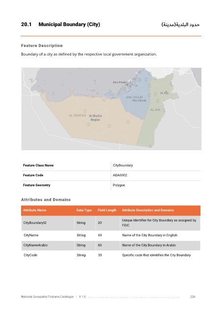
20.1      Municipal Boundary (City)                                                    )ةنيدم(ةيدلبلا دودح


            Feature Description

            Boundary of a city as defined by the respective local government organization.


             Feature Class Name                               CityBoundary

             Feature Code                                     ADA0002

             Feature Geometry                                 Polygon


            Attributes and Domains


             Attribute Name               Data Type   Field Length   Attribute Description and Domains

                                                                   Unique Identifier for City Boundary as assigned by
              CityBoundaryID              String      20
                                                                   FGIC

              CityName                    String      60           Name of the City Boundary in English

              CityNameArabic              String      60           Name of the City Boundary in Arabic

              CityCode                    String      30           Specific code that identifies the City Boundary


            National Geospatial Features Catalogue   |   V 1.0   . . . . . . . . .. . . . . . . . . . . . . . . . . . . . . . . . . . . . . . . . . . . . . . . . . . . . . . . . . . ..               226