
Page 264 - UAE National Geospatial Feature Catalogue
P. 264
20.6 Emirate Boundary ةراملاا دودح
Feature Description
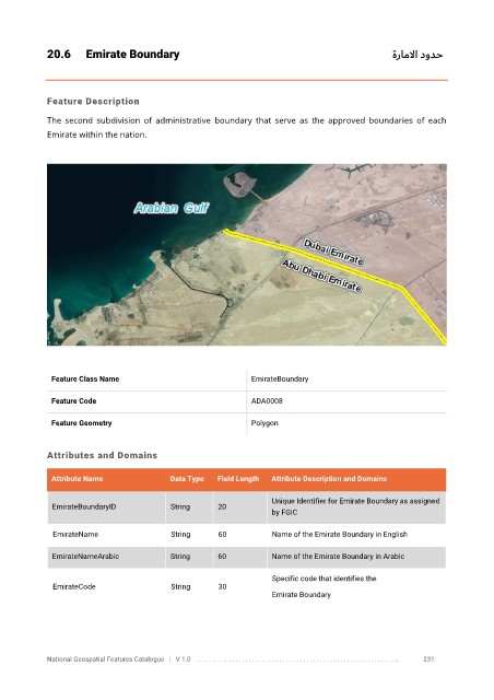
The second subdivision of administrative boundary that serve as the approved boundaries of each
Emirate within the nation.
Feature Class Name EmirateBoundary
Feature Code ADA0008
Feature Geometry Polygon
Attributes and Domains
Attribute Name Data Type Field Length Attribute Description and Domains
Unique Identifier for Emirate Boundary as assigned
EmirateBoundaryID String 20
by FGIC
EmirateName String 60 Name of the Emirate Boundary in English
EmirateNameArabic String 60 Name of the Emirate Boundary in Arabic
Specific code that identifies the
EmirateCode String 30
Emirate Boundary
National Geospatial Features Catalogue | V 1.0 . . . . . . . . .. . . . . . . . . . . . . . . . . . . . . . . . . . . . . . . . . . . . . . . . . . . . . . . . . . .. 231