
Page 315 - UAE National Geospatial Feature Catalogue
P. 315
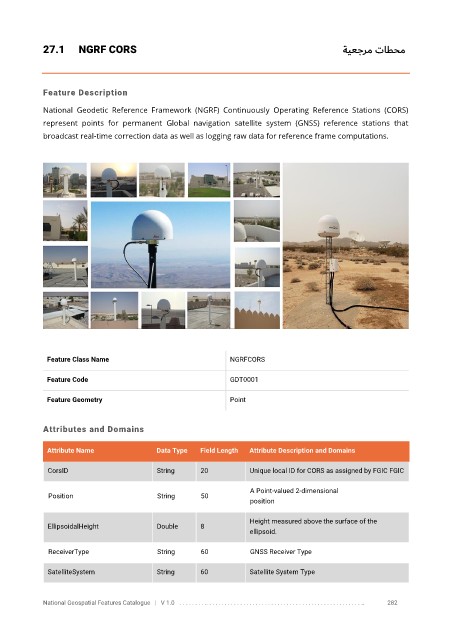
27.1      NGRF CORS                                                               ةيعجرم تاطحم


            Feature Description

            National  Geodetic  Reference  Framework  (NGRF)  Continuously  Operating  Reference  Stations  (CORS)
            represent  points  for  permanent  Global  navigation  satellite  system  (GNSS)  reference  stations  that

            broadcast real-time correction data as well as logging raw data for reference frame computations.


             Feature Class Name                               NGRFCORS


             Feature Code                                     GDT0001

             Feature Geometry                                 Point


            Attributes and Domains

             Attribute Name               Data Type   Field Length   Attribute Description and Domains


              CorsID                      String      20           Unique local ID for CORS as assigned by FGIC FGIC

                                                                   A Point-valued 2-dimensional
              Position                    String      50
                                                                   position

                                                                   Height measured above the surface of the
              EllipsoidalHeight           Double      8
                                                                   ellipsoid.

              ReceiverType                String      60           GNSS Receiver Type

              SatelliteSystem             String      60           Satellite System Type


            National Geospatial Features Catalogue   |   V 1.0   . . . . . . . . .. . . . . . . . . . . . . . . . . . . . . . . . . . . . . . . . . . . . . . . . . . . . . . . . . . ..               282