
Page 323 - UAE National Geospatial Feature Catalogue
P. 323
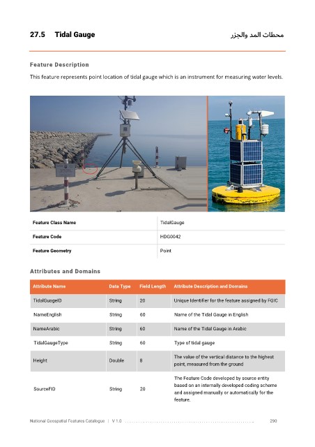
27.5      Tidal Gauge                                                            رزجلاو دملا   تاطحم


            Feature Description

            This feature represents point location of tidal gauge which is an instrument for measuring water levels.


             Feature Class Name                               TidalGauge

             Feature Code                                     HDG0042

             Feature Geometry                                 Point


            Attributes and Domains


             Attribute Name               Data Type   Field Length   Attribute Description and Domains

              TidalGuageID                String      20           Unique Identifier for the feature assigned by FGIC

              NameEnglish                 String      60           Name of the Tidal Gauge in English


              NameArabic                  String      60           Name of the Tidal Gauge in Arabic

              TidalGaugeType              String      60           Type of tidal gauge

                                                                   The value of the vertical distance to the highest
              Height                      Double      8
                                                                   point, measured from the ground

                                                                   The Feature Code developed by source entity
                                                                   based on an internally developed coding scheme
              SourceFID                   String      20
                                                                   and assigned manually or automatically for the
                                                                   feature.


            National Geospatial Features Catalogue   |   V 1.0   . . . . . . . . .. . . . . . . . . . . . . . . . . . . . . . . . . . . . . . . . . . . . . . . . . . . . . . . . . . ..               290