
Page 321 - UAE National Geospatial Feature Catalogue
P. 321
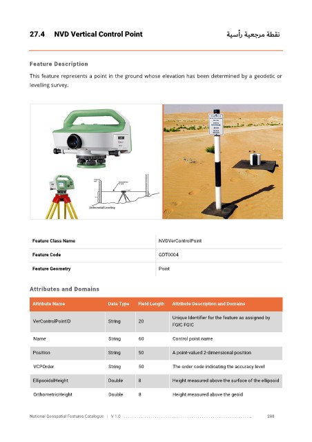
27.4      NVD Vertical Control Point                                             ةيسأر ةيعجرم ةطقن


            Feature Description

            This feature represents a point in the ground whose elevation has been determined by a  geodetic or
            levelling survey.


             Feature Class Name                               NVDVerControlPoint

             Feature Code                                     GDT0004

             Feature Geometry                                 Point


            Attributes and Domains


             Attribute Name               Data Type   Field Length   Attribute Description and Domains

                                                                   Unique Identifier for the feature as assigned by
              VerControlPointID           String      20
                                                                   FGIC FGIC

              Name                        String      60           Control point name

              Position                    String      50           A point-valued 2-dimensional position


              VCPOrder                    String      50           The order code indicating the accuracy level

              EllipsoidalHeight           Double      8            Height measured above the surface of the ellipsoid

              OrthometricHeight           Double      8            Height measured above the geoid


            National Geospatial Features Catalogue   |   V 1.0   . . . . . . . . .. . . . . . . . . . . . . . . . . . . . . . . . . . . . . . . . . . . . . . . . . . . . . . . . . . ..               288