
Page 365 - UAE National Geospatial Feature Catalogue
P. 365
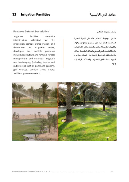
32      Irrigation Facilities                                              ةيسيئرلا يرلا قفارم


             Features Dataset Description                                                    ملاعملا    ةعومجم فصو

             Irrigation      facilities    comprise
             infrastructure   allocated   for    the                   ةيتحتلا  ةينبلا  ىلع  هذه      ملاعملا   ةعومجم  لمشت
                                                                       ،  اهعيزوتو اهلقنو اهنيزختو يرلا هايم جاتنلإ ةصصخملا
             production, storage, transportation, and
             distribution   of    irrigation   water,                  ةعارزلا كلذ ي ف امب ةددعتم ضارغلأ اهريوطت مت يتلاو

             developed    for   multiple   purposes                    ي ف امب (    ةيعيبطلا رظانملاو يلحملا يرلاو تاباغلا ةرادإو
             including agriculture and farming, forests                بعلامو قئادحلا لثم ةماعلاو ةيهيفرتلا قطانملا كلذ
             management,  and  municipal  irrigation                   ، ةيضايرلا تآشنملاو ، ءارضخلا قطانملاو ، فلوجلا
             and  landscaping  (including  leisure  and
                                                                                                         ) .    خلإ
             public areas such as parks and gardens,
             golf  courses,  corniche  areas,  sports

             facilities, green areas etc.).


            National Geospatial Features Catalogue   |   V 1.0   . . . . . . . . .. . . . . . . . . . . . . . . . . . . . . . . . . . . . . . . . . . . . . . . . . . . . . . . . . . ..               332