
Page 367 - UAE National Geospatial Feature Catalogue
P. 367
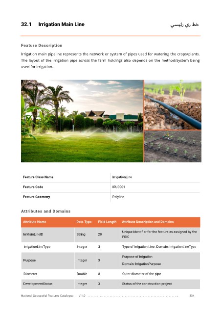
32.1      Irrigation Main Line                                                        يسيئر ير طخ


            Feature Description

            Irrigation main pipeline represents the network or system of pipes used for watering the crops/plants.
            The layout of the irrigation pipe across the farm holdings also depends on the method/system being

            used for irrigation.


             Feature Class Name                               IrrigationLine

             Feature Code                                     IRU0001

             Feature Geometry                                 Polyline


            Attributes and Domains


             Attribute Name               Data Type   Field Length   Attribute Description and Domains

                                                                   Unique Identifier for the feature as assigned by the
              IrrMainLineID               String      20
                                                                   FGIC

              IrrigationLineType          Integer     3            Type of Irrigation Line. Domain: IrrigationLineType

                                                                   Purpose of irrigation
              Purpose                     Integer     3
                                                                   Domain: IrrigationPurpose

              Diameter                    Double      8            Outer diameter of the pipe

              DevelopmentStatus           Integer     3            Status of the construction project


            National Geospatial Features Catalogue   |   V 1.0   . . . . . . . . .. . . . . . . . . . . . . . . . . . . . . . . . . . . . . . . . . . . . . . . . . . . . . . . . . . ..               334