
Page 371 - UAE National Geospatial Feature Catalogue
P. 371
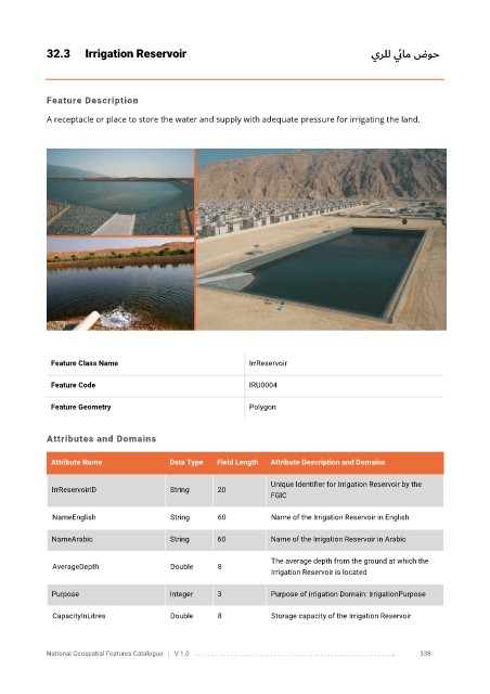
32.3      Irrigation Reservoir                                                 يرلل ي ئام   ضوح


            Feature Description

            A receptacle or place to store the water and supply with adequate pressure for irrigating the land.


             Feature Class Name                               IrrReservoir


             Feature Code                                     IRU0004

             Feature Geometry                                 Polygon


            Attributes and Domains

             Attribute Name               Data Type   Field Length   Attribute Description and Domains


                                                                   Unique Identifier for Irrigation Reservoir by the
              IrrReservoirID              String      20
                                                                   FGIC

              NameEnglish                 String      60           Name of the Irrigation Reservoir in English

              NameArabic                  String      60           Name of the Irrigation Reservoir in Arabic

                                                                   The average depth from the ground at which the
              AverageDepth                Double      8
                                                                   Irrigation Reservoir is located

              Purpose                     Integer     3            Purpose of irrigation Domain: IrrigationPurpose


              CapacityInLitres            Double      8            Storage capacity of the Irrigation Reservoir


            National Geospatial Features Catalogue   |   V 1.0   . . . . . . . . .. . . . . . . . . . . . . . . . . . . . . . . . . . . . . . . . . . . . . . . . . . . . . . . . . . ..               338