
Page 508 - UAE National Geospatial Feature Catalogue
P. 508
44.2 Railway Line ديدحلا ةكس طخ
Feature Description
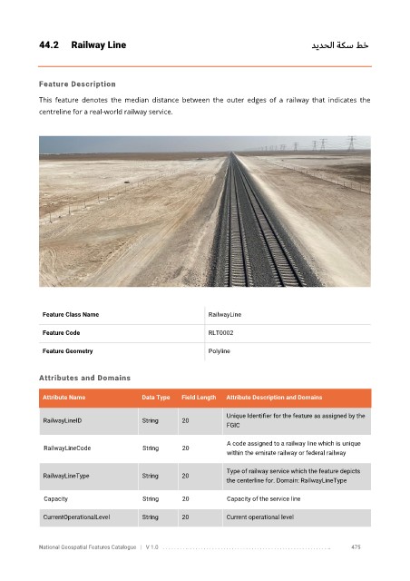
This feature denotes the median distance between the outer edges of a railway that indicates the
centreline for a real-world railway service.
Feature Class Name RailwayLine
Feature Code RLT0002
Feature Geometry Polyline
Attributes and Domains
Attribute Name Data Type Field Length Attribute Description and Domains
Unique Identifier for the feature as assigned by the
RailwayLineID String 20
FGIC
A code assigned to a railway line which is unique
RailwayLineCode String 20
within the emirate railway or federal railway
Type of railway service which the feature depicts
RailwayLineType String 20
the centerline for. Domain: RailwayLineType
Capacity String 20 Capacity of the service line
CurrentOperationalLevel String 20 Current operational level
National Geospatial Features Catalogue | V 1.0 . . . . . . . . .. . . . . . . . . . . . . . . . . . . . . . . . . . . . . . . . . . . . . . . . . . . . . . . . . . .. 475