
Page 511 - UAE National Geospatial Feature Catalogue
P. 511
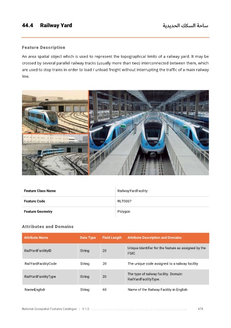
44.4      Railway Yard                                                     ةيديدحلا ككس لا  ةحاس


            Feature Description

            An area spatial object which is used to represent the topographical limits of a railway yard. It may be
            crossed by several parallel railway tracks (usually more than two) interconnected between them, which

            are used to stop trains in order to load / unload freight without interrupting the traffic of a main railway
            line.


             Feature Class Name                               RailwayYardFacility

             Feature Code                                     RLT0007

             Feature Geometry                                 Polygon


            Attributes and Domains


             Attribute Name               Data Type   Field Length   Attribute Description and Domains

                                                                   Unique Identifier for the feature as assigned by the
              RailYardFacilityID          String      20
                                                                   FGIC

              RailYardFacilityCode        String      20           The unique code assigned to a railway facility

                                                                   The type of railway facility. Domain:
              RailYardFacilityType        String      20
                                                                   RailYardFacilityType.

              NameEnglish                 String      60           Name of the Railway Facility in English


            National Geospatial Features Catalogue   |   V 1.0   . . . . . . . . .. . . . . . . . . . . . . . . . . . . . . . . . . . . . . . . . . . . . . . . . . . . . . . . . . . ..               478