
Page 52 - UAE National Geospatial Feature Catalogue
P. 52
2.4 Building Point ةطقنك ىنبملا
Feature Description
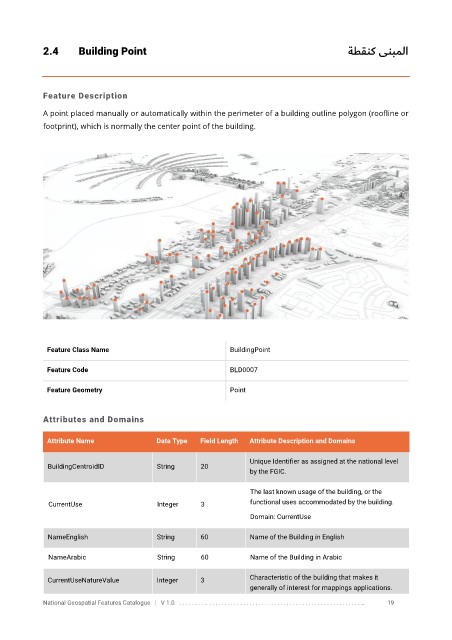
A point placed manually or automatically within the perimeter of a building outline polygon (roofline or
footprint), which is normally the center point of the building.
Feature Class Name BuildingPoint
Feature Code BLD0007
Feature Geometry Point
Attributes and Domains
Attribute Name Data Type Field Length Attribute Description and Domains
Unique Identifier as assigned at the national level
BuildingCentroidID String 20
by the FGIC.
The last known usage of the building, or the
CurrentUse Integer 3 functional uses accommodated by the building.
Domain: CurrentUse
NameEnglish String 60 Name of the Building in English
NameArabic String 60 Name of the Building in Arabic
CurrentUseNatureValue Integer 3 Characteristic of the building that makes it
generally of interest for mappings applications.
National Geospatial Features Catalogue | V 1.0 . . . . . . . . .. . . . . . . . . . . . . . . . . . . . . . . . . . . . . . . . . . . . . . . . . . . . . . . . . . .. 19