
Page 47 - UAE National Geospatial Feature Catalogue
P. 47
2.3 Building Outline ىنبملا ططخم
Feature Description
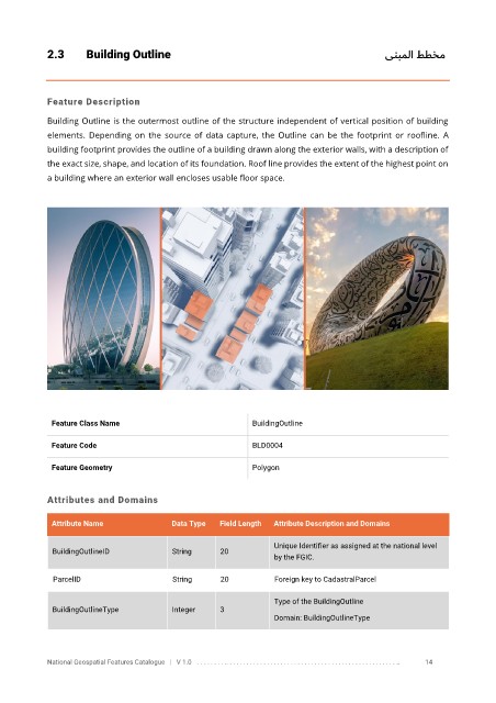
Building Outline is the outermost outline of the structure independent of vertical position of building
elements. Depending on the source of data capture, the Outline can be the footprint or roofline. A
building footprint provides the outline of a building drawn along the exterior walls, with a description of
the exact size, shape, and location of its foundation. Roof line provides the extent of the highest point on
a building where an exterior wall encloses usable floor space.
Feature Class Name BuildingOutline
Feature Code BLD0004
Feature Geometry Polygon
Attributes and Domains
Attribute Name Data Type Field Length Attribute Description and Domains
Unique Identifier as assigned at the national level
BuildingOutlineID String 20
by the FGIC.
ParcelID String 20 Foreign key to CadastralParcel
Type of the BuildingOutline
BuildingOutlineType Integer 3
Domain: BuildingOutlineType
National Geospatial Features Catalogue | V 1.0 . . . . . . . . .. . . . . . . . . . . . . . . . . . . . . . . . . . . . . . . . . . . . . . . . . . . . . . . . . . .. 14