
Page 560 - UAE National Geospatial Feature Catalogue
P. 560
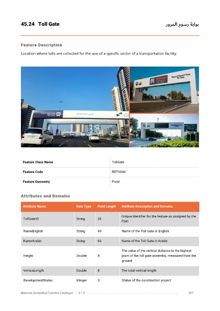
45.24  Toll Gate                                                                  رورملا موسر ةباوب


            Feature Description

            Location where tolls are collected for the use of a specific sector of a transportation facility.


             Feature Class Name                               TollGate


             Feature Code                                     RDT0044

             Feature Geometry                                 Point


            Attributes and Domains

             Attribute Name               Data Type   Field Length   Attribute Description and Domains

                                                                   Unique Identifier for the feature as assigned by the
              TollGateID                  String      20
                                                                   FGIC


              NameEnglish                 String      60           Name of the Toll Gate in English

              NameArabic                  String      60           Name of the Toll Gate in Arabic

                                                                   The value of the vertical distance to the highest
              Height                      Double      8            point of the toll gate assembly, measured from the
                                                                   ground

              VerticaLength               Double      8            The total vertical length

              DevelopmentStatus           Integer     3            Status of the construction project


            National Geospatial Features Catalogue   |   V 1.0   . . . . . . . . .. . . . . . . . . . . . . . . . . . . . . . . . . . . . . . . . . . . . . . . . . . . . . . . . . . ..               527