Page 565 - UAE National Geospatial Feature Catalogue
P. 565

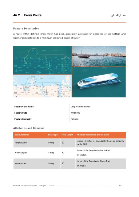
46.2      Ferry Route                                                                 نفسلا راسم


            Feature Description

            A  route  within  defined  limits  which  has  been  accurately  surveyed  for  clearance  of  sea  bottom  and
            submerged obstacles to a minimum indicated depth of water.


             Feature Class Name                               DeepWaterRoutePart


             Feature Code                                     WAT0003

             Feature Geometry                                 Polygon


            Attributes and Domains

             Attribute Name               Data Type   Field Length   Attribute Description and Domains


                                                                   Unique Identifier for Deep Water Route as assigned
              FerryRouteID                String      20
                                                                   by the FGIC

                                                                   Name of the Deep Water Route Part
              NameEnglish                 String      60
                                                                    in English

                                                                   Name of the Deep Water Route Part
              NameArabic                  String      60
                                                                    in Arabic


            National Geospatial Features Catalogue   |   V 1.0   . . . . . . . . .. . . . . . . . . . . . . . . . . . . . . . . . . . . . . . . . . . . . . . . . . . . . . . . . . . ..               532
   560   561   562   563   564   565   566   567   568   569   570