
Page 600 - UAE National Geospatial Feature Catalogue
P. 600
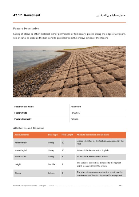
47.17  Revetment                                                             ناضيفلا نم ةيامح زجاح


            Feature Description

            Facing of stone or other material, either permanent or temporary, placed along the edge of a stream,
            sea or canal to stabilize the bank and to protect it from the erosive action of the stream.


             Feature Class Name                               Revetment


             Feature Code                                     HDG0035

             Feature Geometry                                 Polygon


            Attributes and Domains

             Attribute Name               Data Type   Field Length   Attribute Description and Domains


                                                                   Unique Identifier for the feature as assigned by the
              RevetmentID                 String      20
                                                                   FGIC

              NameEnglish                 String      60           Name of the Revetment in English

              NameArabic                  String      60           Name of the Revetment in Arabic

                                                                   The value of the vertical distance to the highest
              Height                      Double      8
                                                                   point, measured from the ground


              Status                      Integer     3            The state of planning, construction, repair, and/or
                                                                   maintenance of the structures and/or equipment


            National Geospatial Features Catalogue   |   V 1.0   . . . . . . . . .. . . . . . . . . . . . . . . . . . . . . . . . . . . . . . . . . . . . . . . . . . . . . . . . . . ..               567