
Page 604 - UAE National Geospatial Feature Catalogue
P. 604
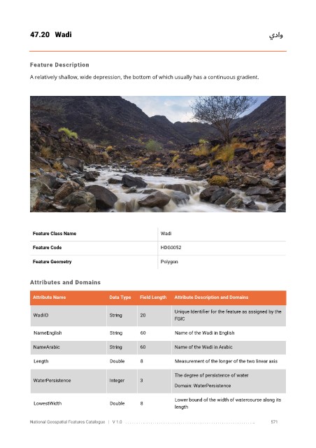
47.20  Wadi                                                                                  يداو


            Feature Description

            A relatively shallow, wide depression, the bottom of which usually has a continuous gradient.


             Feature Class Name                               Wadi


             Feature Code                                     HDG0052

             Feature Geometry                                 Polygon


            Attributes and Domains

             Attribute Name               Data Type   Field Length   Attribute Description and Domains

                                                                   Unique Identifier for the feature as assigned by the
              WadiID                      String      20
                                                                   FGIC


              NameEnglish                 String      60           Name of the Wadi in English

              NameArabic                  String      60           Name of the Wadi in Arabic

              Length                      Double      8            Measurement of the longer of the two linear axis


                                                                   The degree of persistence of water
              WaterPersistence            Integer     3
                                                                   Domain: WaterPersistence

                                                                   Lower bound of the width of watercourse along its
              LowestWidth                 Double      8
                                                                   length

            National Geospatial Features Catalogue   |   V 1.0   . . . . . . . . .. . . . . . . . . . . . . . . . . . . . . . . . . . . . . . . . . . . . . . . . . . . . . . . . . . ..               571