
Page 608 - UAE National Geospatial Feature Catalogue
P. 608
47.22 Water Level Marker هايملا عافترا ىوتسم سايقل ةادا
Feature Description
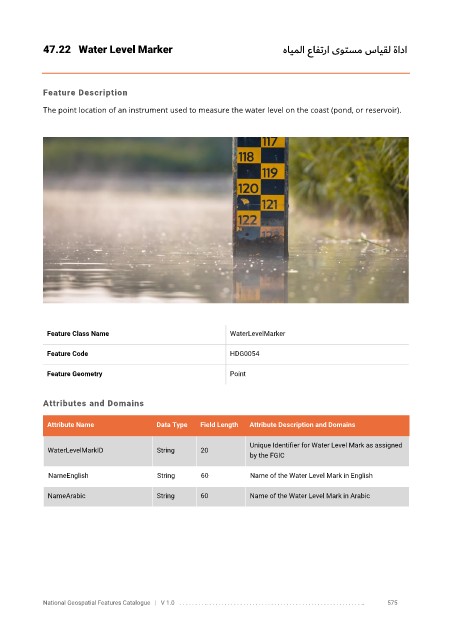
The point location of an instrument used to measure the water level on the coast (pond, or reservoir).
Feature Class Name WaterLevelMarker
Feature Code HDG0054
Feature Geometry Point
Attributes and Domains
Attribute Name Data Type Field Length Attribute Description and Domains
Unique Identifier for Water Level Mark as assigned
WaterLevelMarkID String 20
by the FGIC
NameEnglish String 60 Name of the Water Level Mark in English
NameArabic String 60 Name of the Water Level Mark in Arabic
National Geospatial Features Catalogue | V 1.0 . . . . . . . . .. . . . . . . . . . . . . . . . . . . . . . . . . . . . . . . . . . . . . . . . . . . . . . . . . . .. 575