
Page 612 - UAE National Geospatial Feature Catalogue
P. 612
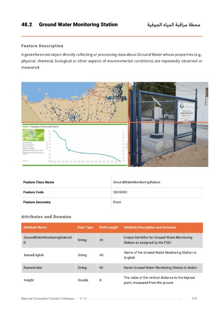
48.2      Ground Water Monitoring Station                           ةيفوجلا هايملا ةبقارم ةطحم


            Feature Description

            A georeferenced object directly collecting or processing data about Ground Water whose properties (e.g.,
            physical, chemical, biological or other aspects of environmental conditions) are repeatedly observed or

            measured.


             Feature Class Name                              GroundWaterMonitoringStation

             Feature Code                                    SSH0002

             Feature Geometry                                Point


            Attributes and Domains


             Attribute Name               Data Type   Field Length   Attribute Description and Domains

              GroundWaterMonitoringStationI  String   20           Unique Identifier for Ground Water Monitoring
              D                                                    Station as assigned by the FGIC

                                                                   Name of the Ground Water Monitoring Station in
              NameEnglish                 String      60
                                                                   English

              NameArabic                  String      60           Name Ground Water Monitoring Station in Arabic


                                                                   The value of the vertical distance to the highest
              Height                      Double      8
                                                                   point, measured from the ground


            National Geospatial Features Catalogue   |   V 1.0   . . . . . . . . .. . . . . . . . . . . . . . . . . . . . . . . . . . . . . . . . . . . . . . . . . . . . . . . . . . ..               579