
Page 611 - UAE National Geospatial Feature Catalogue
P. 611
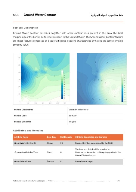
48.1      Ground Water Contour                                        ةيفوجلا هايملا بيسانم طخ


            Feature Description

            Ground  Water  Contour  describes,  together  with  other  contour  lines  present  in  the  area,  the  local
            morphology of the Earth's surface with respect to the Ground Water. The Ground Water Contour feature

            are linear features composed of a set of adjoining locations characterized by having the same elevation
            property value.


             Feature Class Name                              GroundWaterContour

             Feature Code                                    SSH0001

             Feature Geometry                                Polyline


            Attributes and Domains

             Attribute Name               Data Type   Field Length   Attribute Description and Domains


              GroundWaterContourID        String      20           Unique Identifier as assigned by the FGIC

                                                                   The time and date that the result of an
              ObservationDateAndTime      Date        8            Observation, Actuation, or Sampling applies to the
                                                                   Ground Water Contour


              GroundWaterLevel            Double      8            Ground water depth


            National Geospatial Features Catalogue   |   V 1.0   . . . . . . . . .. . . . . . . . . . . . . . . . . . . . . . . . . . . . . . . . . . . . . . . . . . . . . . . . . . ..               578