
Page 81 - UAE National Geospatial Feature Catalogue
P. 81
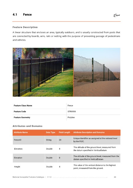
4.1       Fence                                                                                                      جايس


            Feature Description

            A linear structure that encloses an area, typically outdoors, and is usually constructed from posts that
            are connected by boards, wire, rails or netting with the purpose of preventing passage of pedestrians

            and vehicles.


             Feature Class Name                               Fence


             Feature Code                                     STR0006

             Feature Geometry                                 Polyline


            Attributes and Domains


             Attribute Name               Data Type   Field Length   Attribute Description and Domains

                                                                   Unique Identifier as assigned at the national level
              FenceID                     String      20
                                                                   by the FGIC.

                                                                   The altitude of the ground level, measured from
              Elevation                   Double      8
                                                                   the datum specified in VerticalDatum

                                                                   The altitude of the ground level, measured from the
              Elevation                   Double      8
                                                                   datum specified in VerticalDatum

                                                                   The value of the vertical distance to the highest
              Height                      Double      8
                                                                   point, measured from the ground.


            National Geospatial Features Catalogue   |   V 1.0   . . . . . . . . .. . . . . . . . . . . . . . . . . . . . . . . . . . . . . . . . . . . . . . . . . . . . . . . . . . ..               48