
Page 89 - UAE National Geospatial Feature Catalogue
P. 89
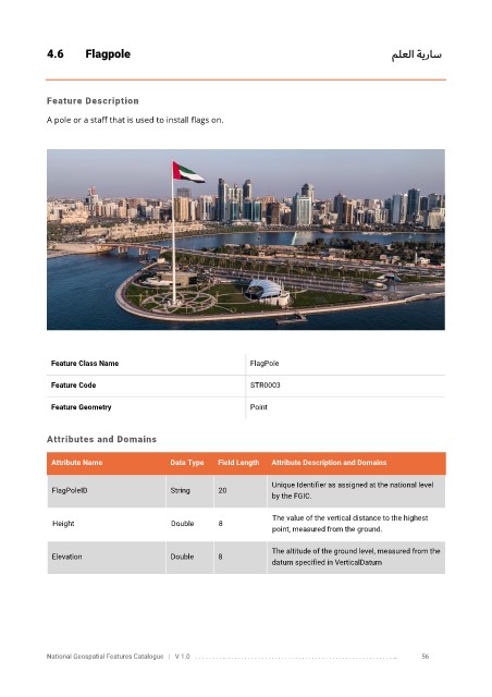
4.6       Flagpole                                                                                        ملعلا ةيراس


            Feature Description

            A pole or a staff that is used to install flags on.


             Feature Class Name                               FlagPole


             Feature Code                                     STR0003

             Feature Geometry                                 Point


            Attributes and Domains

             Attribute Name               Data Type   Field Length   Attribute Description and Domains

                                                                   Unique Identifier as assigned at the national level
              FlagPoleID                  String      20
                                                                   by the FGIC.


                                                                   The value of the vertical distance to the highest
              Height                      Double      8
                                                                   point, measured from the ground.
                                                                   The altitude of the ground level, measured from the
              Elevation                   Double      8
                                                                   datum specified in VerticalDatum


            National Geospatial Features Catalogue   |   V 1.0   . . . . . . . . .. . . . . . . . . . . . . . . . . . . . . . . . . . . . . . . . . . . . . . . . . . . . . . . . . . ..               56