
Page 90 - UAE National Geospatial Feature Catalogue
P. 90
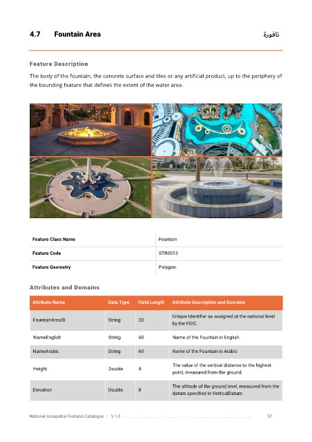
4.7       Fountain Area                                                                                      ةروفان


            Feature Description

            The body of the fountain, the concrete surface and tiles or any artificial product, up to the periphery of
            the bounding feature that defines the extent of the water area.


             Feature Class Name                               Fountain


             Feature Code                                     STR0013

             Feature Geometry                                 Polygon.


            Attributes and Domains

             Attribute Name               Data Type   Field Length   Attribute Description and Domains


                                                                   Unique Identifier as assigned at the national level
              FountainAreaID              String      20
                                                                   by the FGIC.

              NameEnglish                 String      60           Name of the Fountain in English

              NameArabic                  String      60           Name of the Fountain in Arabic

                                                                   The value of the vertical distance to the highest
              Height                      Double      8
                                                                   point, measured from the ground.

                                                                   The altitude of the ground level, measured from the
              Elevation                   Double      8
                                                                   datum specified in VerticalDatum


            National Geospatial Features Catalogue   |   V 1.0   . . . . . . . . .. . . . . . . . . . . . . . . . . . . . . . . . . . . . . . . . . . . . . . . . . . . . . . . . . . ..               57