
Page 118 - UAE National Geospatial Feature Catalogue
P. 118
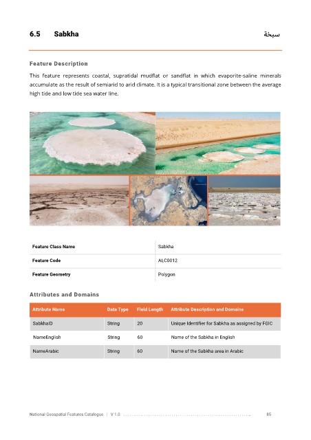
6.5       Sabkha                                                                                          ةخبس


            Feature Description

            This  feature  represents  coastal,  supratidal  mudflat  or  sandflat  in  which  evaporite-saline  minerals
            accumulate as the result of semiarid to arid climate. It is a typical transitional zone between the average

            high tide and low tide sea water line.


             Feature Class Name                               Sabkha


             Feature Code                                     ALC0012

             Feature Geometry                                 Polygon


            Attributes and Domains

             Attribute Name               Data Type   Field Length   Attribute Description and Domains


              SabkhaID                    String      20           Unique Identifier for Sabkha as assigned by FGIC

              NameEnglish                 String      60           Name of the Sabkha in English

              NameArabic                  String      60           Name of the Sabkha area in Arabic


            National Geospatial Features Catalogue   |   V 1.0   . . . . . . . . .. . . . . . . . . . . . . . . . . . . . . . . . . . . . . . . . . . . . . . . . . . . . . . . . . . ..               85