Page 122 - UAE National Geospatial Feature Catalogue
P. 122

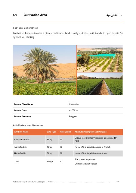
6.9       Cultivation Area                                                                      ةيعارز ةقطنم


            Feature Description

            Cultivation feature denotes a piece of cultivated land, usually delimited with bunds, in open terrain for
            agricultural planting.


             Feature Class Name                               Cultivation


             Feature Code                                     ALC0018

             Feature Geometry                                 Polygon


            Attributes and Domains

             Attribute Name               Data Type   Field Length   Attribute Description and Domains

                                                                   Unique Identifier for Vegetation as assigned by
              CultivationAreaID           String      20
                                                                   FGIC


              NameEnglish                 String      60           Name of the Vegetation area in English

              NameArabic                  String      60           Name of the Vegetation area Arabic

                                                                   The type of Vegetation.
              Type                        Integer     3
                                                                   Domain: CultivationType


            National Geospatial Features Catalogue   |   V 1.0   . . . . . . . . .. . . . . . . . . . . . . . . . . . . . . . . . . . . . . . . . . . . . . . . . . . . . . . . . . . ..               89
   117   118   119   120   121   122   123   124   125   126   127