
Page 119 - UAE National Geospatial Feature Catalogue
P. 119
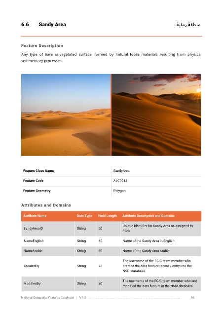
6.6       Sandy Area                                                                    ةيلمر ةقطنم


            Feature Description

            Any  type  of  bare  unvegetated  surface,  formed  by  natural  loose  materials  resulting  from  physical
            sedimentary processes


             Feature Class Name                               SandyArea


             Feature Code                                     ALC0013

             Feature Geometry                                 Polygon


            Attributes and Domains

             Attribute Name               Data Type   Field Length   Attribute Description and Domains

                                                                   Unique Identifier for Sandy Area as assigned by
              SandyAreaID                 String      20
                                                                   FGIC


              NameEnglish                 String      60           Name of the Sandy Area in English

              NameArabic                  String      60           Name of the Sandy Area Arabic

                                                                   The username of the FGIC team member who
              CreatedBy                   String      20           created the data feature record / entry into the
                                                                   NSDI database.

                                                                   The username of the FGIC team member who last
              ModifiedBy                  String      20
                                                                   modified the data feature in the NSDI database.

            National Geospatial Features Catalogue   |   V 1.0   . . . . . . . . .. . . . . . . . . . . . . . . . . . . . . . . . . . . . . . . . . . . . . . . . . . . . . . . . . . ..               86