
Page 135 - UAE National Geospatial Feature Catalogue
P. 135
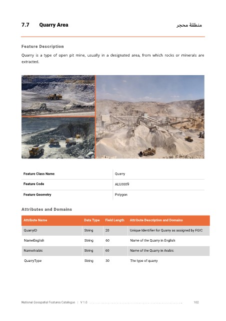
7.7       Quarry Area                                                                رجحم ةقطنم


            Feature Description

            Quarry  is  a  type  of  open  pit  mine,  usually  in  a  designated  area,  from  which  rocks  or  minerals  are
            extracted.


             Feature Class Name                               Quarry


             Feature Code                                     ALU0009

             Feature Geometry                                 Polygon


            Attributes and Domains


             Attribute Name                  Data Type   Field Length   Attribute Description and Domains

              QuarryID                       String      20           Unique Identifier for Quarry as assigned by FGIC

              NameEnglish                     String     60           Name of the Quarry in English


              NameArabic                     String      60           Name of the Quarry in Arabic

              QuarryType                      String     30           The type of quarry


            National Geospatial Features Catalogue   |   V 1.0   . . . . . . . . .. . . . . . . . . . . . . . . . . . . . . . . . . . . . . . . . . . . . . . . . . . . . . . . . . . ..               102