
Page 138 - UAE National Geospatial Feature Catalogue
P. 138
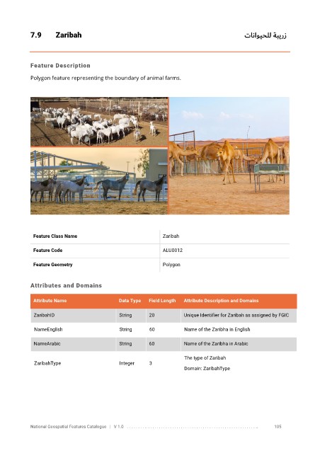
7.9       Zaribah                                                                  تاناويحلل ةبيرز


            Feature Description

            Polygon feature representing the boundary of animal farms.


             Feature Class Name                               Zaribah


             Feature Code                                     ALU0012

             Feature Geometry                                 Polygon


            Attributes and Domains

             Attribute Name                  Data Type   Field Length   Attribute Description and Domains

              ZaribahID                      String      20          Unique Identifier for Zaribah as assigned by FGIC


              NameEnglish                    String      60           Name of the Zaribha in English

              NameArabic                     String      60          Name of the Zaribha in Arabic

                                                                      The type of Zaribah
              ZaribahType                    Integer     3
                                                                      Domain: ZaribahType


            National Geospatial Features Catalogue   |   V 1.0   . . . . . . . . .. . . . . . . . . . . . . . . . . . . . . . . . . . . . . . . . . . . . . . . . . . . . . . . . . . ..               105