
Page 140 - UAE National Geospatial Feature Catalogue
P. 140
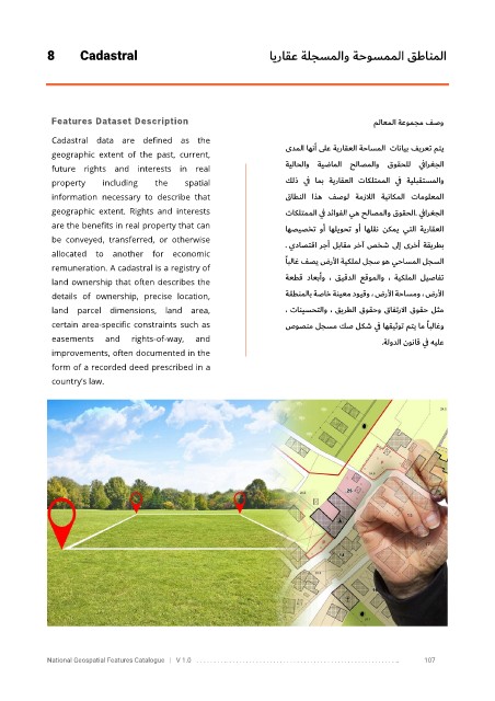
8       Cadastral                                         ايراقع ةلجسملاو ةحوسمملا قطانملا


             Features Dataset Description                                                    ملاعملا    ةعومجم فصو

             Cadastral  data  are  defined  as  the
             geographic  extent  of  the  past,  current,              ىدملا اهنأ ىلع    ةيراقعلا    ةحاسملا      تانايب   فيرعت متي
                                                                       ةيلاحلاو  ةيضاملا  حلاصملاو  قوقحلل  ي فارغجلا
             future  rights  and  interests  in  real
             property     including   the    spatial                   كلذ  ي ف  امب  ةيراقعلا  تاكلتمملا  ي ف  ةيلبقتسملاو

             information  necessary  to  describe  that                قاطنلا  اذه  فصول  ةمزلالا  ةيناكملا  تامولعملا
             geographic  extent.  Rights  and  interests               تاكلتمملا ي ف دئاوفلا يه حلاصملاو قوقحلا .  ي فارغجلا
             are the benefits in real property that can                اهصيصخت  وأ  اهليوحت  وأ  اهلقن  نكمي  يتلا  ةيراقعلا
             be  conveyed,  transferred,  or  otherwise
                                                                      .  يداصتقا رجأ لباقم رخآ صخش  ىل إ ىرخأ ةقيرطب
             allocated  to  another  for  economic
                                                                          ًابلاغ فصي ضرلأا ةيكلمل لجس وه يحاسملا لجسلا
             remuneration. A cadastral is a registry of
                                                                       ةعطق  داعبأو  ،  قيقدلا  عقوملاو  ،  ةيكلملا  ليصافت
             land ownership that often describes the
             details  of  ownership,  precise  location,               ةقطنملاب ةصاخ ةنيعم دويقو ، ضرلأا ةحاسمو ، ضرلأا
             land  parcel  dimensions,  land  area,                    ، تانيسحتلاو ، قيرطلا قوقحو قافترلاا قوقح لثم
             certain area-specific constraints  such as                صوص نم لجسم كص لكش ي ف اهقيثوت متي ام      ًابلاغو
             easements    and    rights-of-way,   and                                         .     ةلودلا نوناق ي ف هيلع
             improvements, often documented in the
             form of a recorded deed prescribed in a
             country’s law.


            National Geospatial Features Catalogue   |   V 1.0   . . . . . . . . .. . . . . . . . . . . . . . . . . . . . . . . . . . . . . . . . . . . . . . . . . . . . . . . . . . ..               107