
Page 143 - UAE National Geospatial Feature Catalogue
P. 143
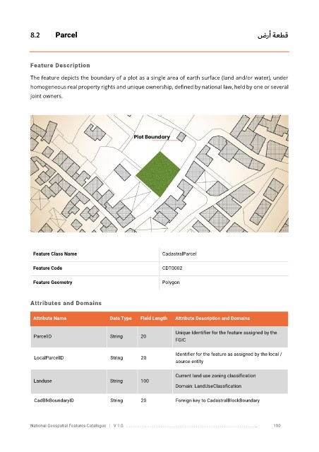
8.2       Parcel                                                                         ضرأ ةعطق


            Feature Description

            The feature depicts the boundary of a plot as a single area of earth surface (land and/or water), under
            homogeneous real property rights and unique ownership, defined by national law, held by one or several

            joint owners.


             Feature Class Name                               CadastralParcel


             Feature Code                                     CDT0002

             Feature Geometry                                 Polygon


            Attributes and Domains


             Attribute Name               Data Type   Field Length   Attribute Description and Domains

                                                                   Unique Identifier for the feature assigned by the
              ParcelID                    String      20
                                                                   FGIC

                                                                   Identifier for the feature as assigned by the local /
              LocalParcelID               String      20
                                                                   source entity

                                                                   Current land use zoning classification
              Landuse                     String      100
                                                                   Domain: LandUseClassfication


              CadBlkBoundaryID            String      20           Foreign key to CadastralBlockBoundary


            National Geospatial Features Catalogue   |   V 1.0   . . . . . . . . .. . . . . . . . . . . . . . . . . . . . . . . . . . . . . . . . . . . . . . . . . . . . . . . . . . ..               110