
Page 25 - UAE National Geospatial Feature Catalogue
P. 25
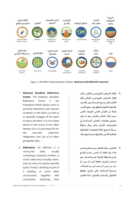
Figure 1: UAE NSDI Fundamental Data Themes- (Reference UN-GGIM IGIF Framwork)


                 1. National  Geodetic  Reference                     لثمي    ُ  .ينطولا يسيدويجلا يعجرملا راطلإا    1 -
                     Frame.  The  National  Geodetic                   راطإ    ينطولا   يسيدويجلا  يعجرملا  راطلإا
                     Reference    Frame    is    the                   ديدحتلاب نيمدختسملل حمسي يذلا لمعلا
                     framework which allows users to                   ،ضرلأا حطس ىلع عقاوملل قيقدلا ليث متلاو
                     precisely determine and express
                                                                                                 ً
                     locations on the Earth, as well as                ضرلأا  تاريغتل  يمكلا  سايقلا  نع  لاضف
                     to quantify changes of the Earth                  لثمي  لا  وهو  .نامزلاو  ناكملا  داعبأ  نمض
                     in space and time. It is not a data               ي ف  مدختسملا  ىنعملاب    تامولعم   عوضوم
                     theme in the sense of the other                    ًابلطتم  لثمي  نكلو  ،ىرخلأا  تاعوضوملا
                     themes, but it is a prerequisite for              ةيفارغجلا تامولعملا   ةفاك عيمجتل ا ً قبسم
                     the     accurate     collection,                  ة قدب اهمادختساو اهلماكتو ىرخلأا   ةيناكملا
                                                                      .
                     integration,  and  use  of  all  other
                     geospatial data.


                 2. Addresses.  An  Address  is  a                     نمضتي مظنم مسو ناونعلا   لثمي   .نيوانعلا    2 -
                     structured    label,    usually                   عراشلا  مساو   ىنبملا  وأ   راقعلا  مقر  ةداع
                     containing a property number, a                   وهو ، ةنيدملا مساو ةيرادلإا   ةقطنملا مساو
                     street name and a locality name.                  وأ  ىنبم  وأ  ضرأ  ةعطق  فيرعتل  مدختسُي
                     and city name, it’s used to identify
                     a plot of land, a building or part of             ،تآشنملا نم رخآ فنص وأ ،ىنبم نم ءزج

                     a  building,  or  some  other                     اهعقوم  حضوت  يتلا  تايثادح لاا   ًابوحصم
                     construction,  together    with                   ريبعتلل  ةداع  نيوانعلا  مدختسُتو  .ي فارغجلا
                     coordinates   indicating   their

            National Geospatial Features Catalogue   |   V 1.0   . . . . . . . . . . . . . . . .. . . . . . . . . . . . . . . . . . . . . . . . . . . . . . . . . . . . . . . . . . . . .     xx