
Page 499 - UAE National Geospatial Feature Catalogue
P. 499
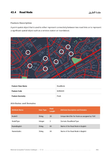
43.4      Road Node                                                                     قيرطلا ةدقع


            Feature Description

            A point spatial object that is used to either represent connectivity between two road links or to represent
            a significant spatial object such as a services station or roundabout.


             Feature Class Name                               RoadNode


             Feature Code                                     NVR0005

             Feature Geometry                                 Point


            Attributes and Domains

                                                      Field
             Attribute Name               Data Type              Attribute Description and Domains
                                                      Length

              NodeID                      String      20         Unique Identifier for Node as assigned by FGIC


              NodeType                    Integer     3          Domain: RoadNodeType

              NameEnglish                 String      60         Name of the Road Node in English

              NameArabic                  String      60         Name of the Road Node in English


            National Geospatial Features Catalogue   |   V 1.0   . . . . . . . . .. . . . . . . . . . . . . . . . . . . . . . . . . . . . . . . . . . . . . . . . . . . . . . . . . . ..               466